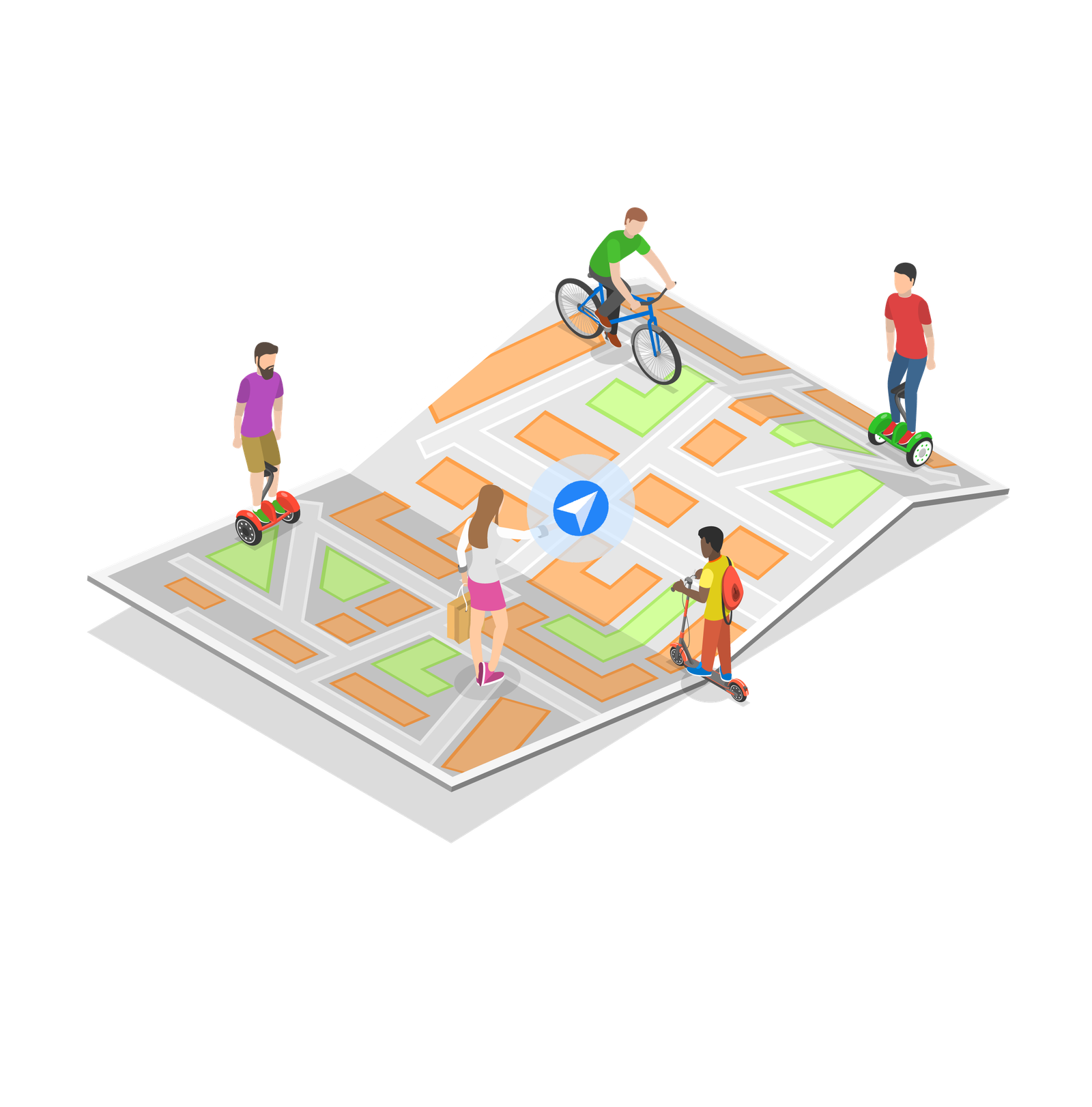
IPS Indoor positioning and navigation application system
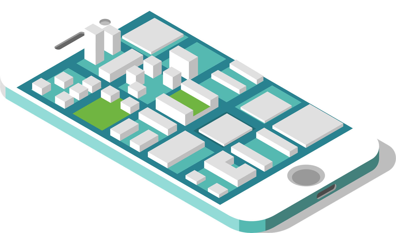
Indoor Map
Vector maps are compatible with mobile devices (Android, iOS, H5) and web versions, rendering within less than 1 second (network latency excluded).
The map can be dragged, rotated, and zoomed, with the ability to switch between different floors, enabling an overview display of multi-floor maps.
The map supports seamless integration of 2D and 3D effects, refined simulation modeling of 3D map facilities, and a unified display of 3D building exteriors and indoor maps. It also features indoor-outdoor map integration, unified display of multiple buildings, elevation of buildings when zoomed out, and automatic switching to detailed maps when zoomed in.
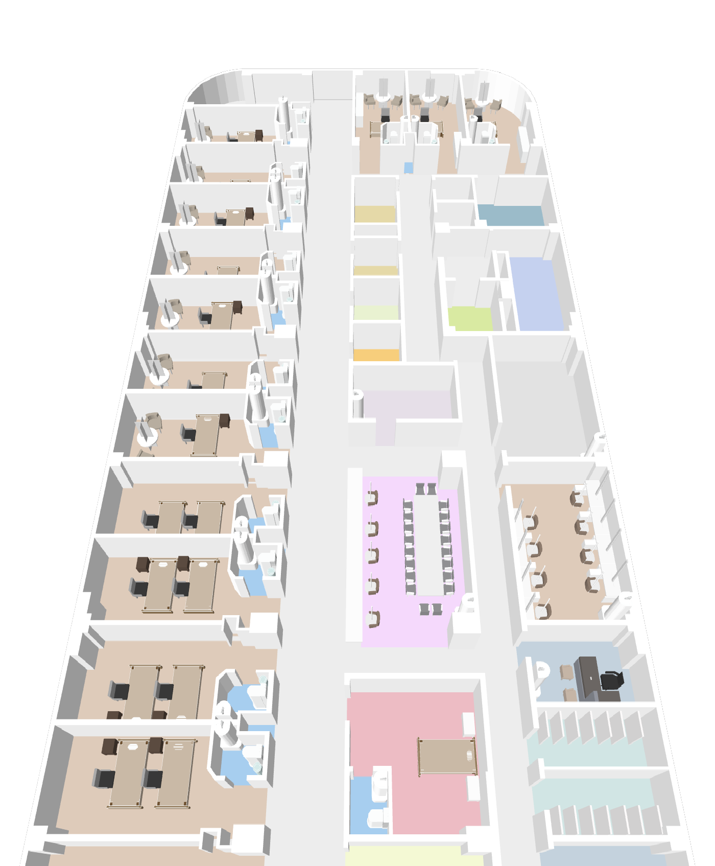
The map displays POI information, including POI names and logos. POIs are clickable (supporting click events) and searchable via fuzzy search or quick search for specific categories (such as restrooms, service desks, elevators, etc.). POI information is dynamically displayed at different zoom levels and moves with the map. Customizable POI information includes font, color, and line thickness. POI types include shops, parking spaces, obstacles, elevators, stairs, and more.
Characteristics of Indoor Maps

2D Map
Two-dimensional planar map
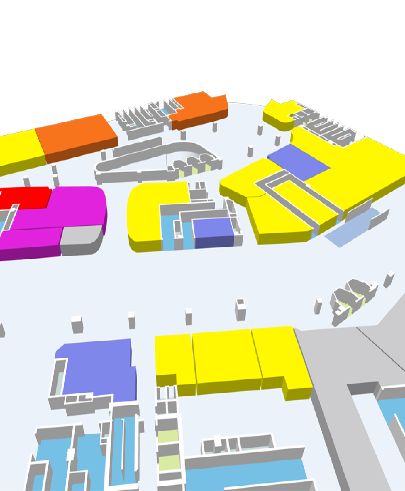
3D Map
Support the display of three-dimensional effects of units, walls, columns, etc. within buildings
Mesh 3D model
Support the placement of low-precision 3D models on the basis of 3D maps
3D High-Precision Model
Support the placement of high-precision 3D models on the basis of 3D maps
Indoor Positioning
Compatibility: Supports Bluetooth, Angle of Arrival (AOA), Ultra-Wideband (UWB), GPS positioning.
Positioning Precision: Bluetooth positioning at 3 meters, GPS positioning at 5-10 meters.
High performance: Utilizes high-performance fingerprint positioning technology or triangulation technology.
Positioning Latency: The positioning calculation time is less than 1 second, and the delay for the user to see the final position is less than 2 seconds. The positioning delay should meet the requirements of real-time navigation.
Floor Precision: 100%, floor switching time within 3 seconds.
Load capacity: A single server can handle 5000 concurrent user accesses.
Multi-terminal Access: Supports mainstream terminal access such as Android, iOS, etc.
Positioning Technology
Beacon
Active positioning, with a positioning accuracy of 3-5 meters

BLE AOA
Passive positioning, with a positioning accuracy of 0.3-0.6 meters

UWB
Passive positioning, with a positioning accuracy of 0.1-0.3 meters
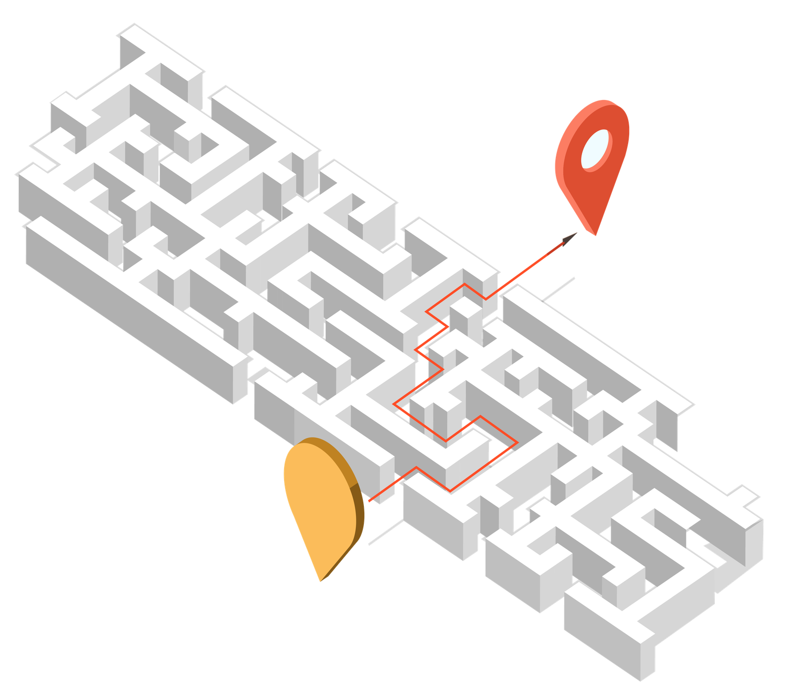
Indoor Navigation
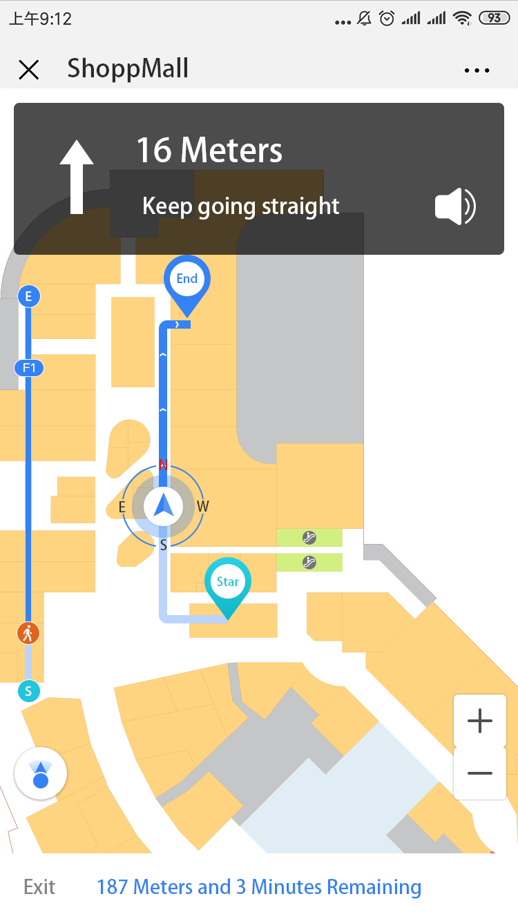
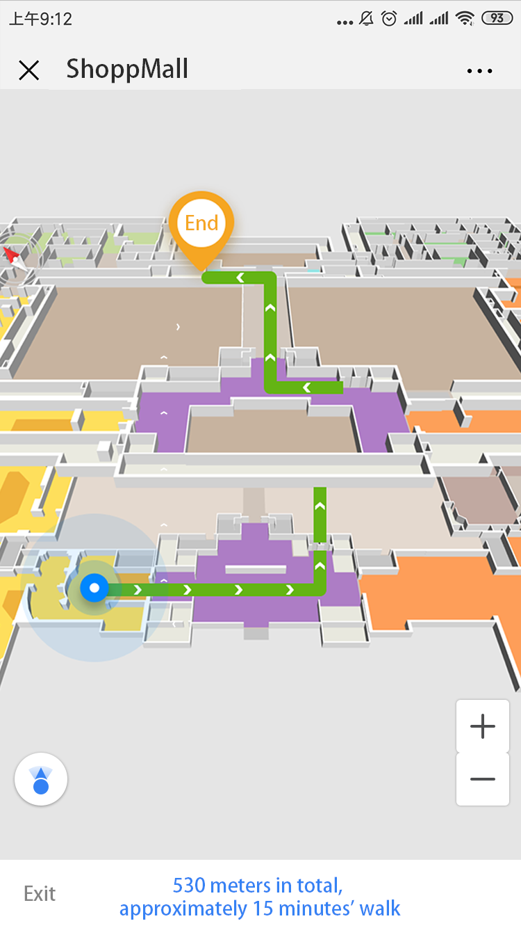
Map navigation display time is less than 1 second.
Supports intelligent path planning for single floors and across floors.
Supports real-time navigation and simulated navigation.
Supports multiple navigation modes including recommendations, elevators, staircases, vehicular routes, and accessible passages.
Supports estimation of distance and walking time based on planned paths.
Supports voice navigation.
Supports AR navigation.
Navigation
Navigation
Navigation Overview
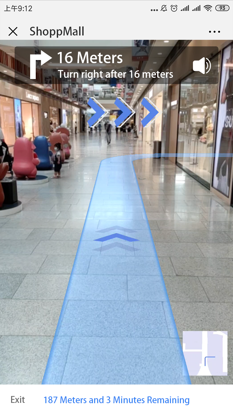
AR Navigation
We have 14+ years experience. Helping you overcome technology challenges. Join the thriving Hutree LBS solution agency.